
Adapting Marks Point and Belmont South
This consultation has concluded.
The need for a Foreshore Management Plan (FMP) was identified in the Marks Point and Belmont South Local Adaptation Plan (LAP), prepared by Council and residents in 2015-16.
Following adoption of the LAP, Council and the community co-designed the draft Foreshore Management Plan (FMP) covering the lake foreshore areas of Belmont South and Marks Point. The draft FMP sought to provide clearer guidance and direction on how current foreshore issues (including erosion, seagrass wrack, drainage and public amenity/access) could be addressed whilst ensuring that planning for projected lake level rise will still take place.
Council exhibited the draft FMP in July/August 2021. As a result of community feedback, the draft FMP was amended and presented to the Lake Macquarie Coastal Zone Management Committee. FMP findings and recommendations will inform the review of Council’s local development planning controls including the Lake Macquarie Development Control Plan and/or Council’s Foreshore/Coastal Protection Guidelines (under review in 2022/23).
Visit Council's website to stay up to date and/or help Council and the community to implement the Marks Point Belmont South LAP.
This consultation has concluded.
-
What's been happening with the Marks Point Belmont South Foreshore Management Plan?
Share on Facebook Share on Twitter Share on Linkedin Email this link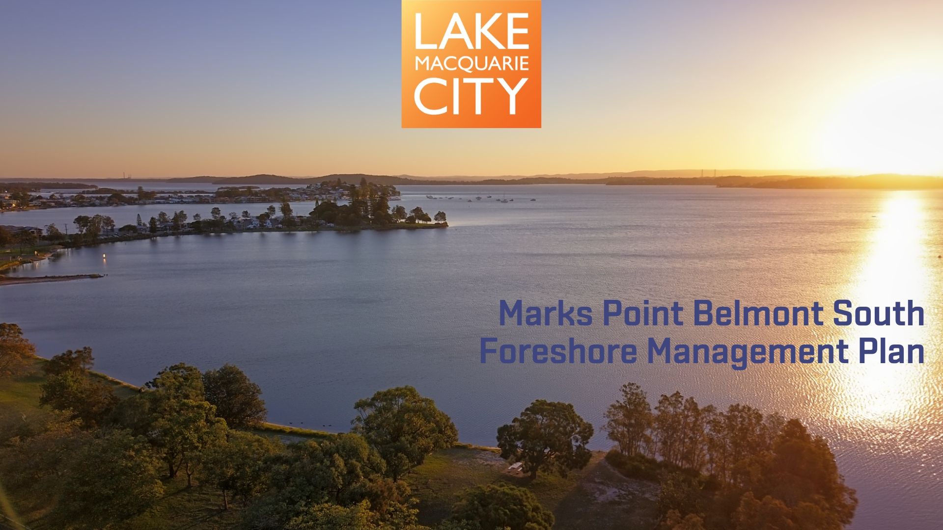
With the end of the year fast approaching, it’s a good time to look back on what’s been happening behind the scenes this year to develop the draft Foreshore Management Plan for Marks Point and Belmont South.
The Council and Community Working Group have continued to collaborate to build on the work completed for the Marks Point Belmont South Local Adaptation Plan. Throughout the year, the Group has met around ten times to progress investigations into issues and consider options to assist Council and the community to protect and manage our valuable foreshore areas.
When completed, the Foreshore Management Plan will provide guidance on how to implement foreshore protection works on public and private land. The Plan will help us to protect the foreshore from erosion in the short to medium term, without affecting the ability to adapt to permanent inundation over time or creating unacceptable impacts.
It aims to address current and emerging issues impacting on the lake foreshore and residents and visitors to the area. Key issues identified by Council and the community include foreshore erosion and tidal inundation, public safety and amenity and foreshore access. The plan also incorporates long-term measures to protect communities against projected sea level rise.
It’s a complicated task and we would like to thank and acknowledge the commitment from the Group’s volunteers and local residents in building strong foundations for the development of the draft Plan.
Our current thinking is that the draft Management Plan will consist of four parts:
- Part A: Why we need a Foreshore Management Plan for Marks Point and Belmont South
- Part B: How the Plan was prepared
- Part C: Key elements of the Plan
- Part D: Implementing the Foreshore Management Plan
In the coming months, the Group members will be reviewing draft foreshore concept designs and clarifying approval pathways for public and private works. We look forward to presenting the draft Plan for your review and feedback early next year. Stay tuned!
If you would like ask the Council and Community Working Group a question or would like any further information, visit shape.lakemac.com.au/future-flood-planning or call Council on 49210333.
Wishing you a Merry Christmas and wonderful New Year.
Kind regards,
The Project Team
-
Citizen Science and Foreshore Inundation Project - Marks Point Tidal Valves Case Study
Share on Facebook Share on Twitter Share on Linkedin Email this link
A case study on tidal valves in Marks Point has been released by Local Government NSW for the Citizen Science and Foreshore Inundation Project.
Marks Point is a low-lying area that experiences frequent tidal inundation from Lake Macquarie. Local tidal inundation is projected to increase as sea levels rise due to climate change. As part of the Marks Point and Belmont South Local Adaptation Plan, the community proposed to address this risk by using tidal flaps (or valves) on stormwater outlets to prevent the ingress of lake water into the stormwater system.

In June 2016, with financial assistance from the NSW Government through its Environmental Trust (Local Government NSW / NSW Office of Environment and Heritage Building Resilience to Climate Change program), Council installed tidal flaps on two stormwater outlets at Marks Point to trial their effectiveness under local conditions. From June to December 2016, the community monitored the performance of the flaps during high tides and rainfall events.

While the flaps were successful at preventing lake inundation during high tides, they caused the stormwater system to backup during rainfall events resulting in localised flooding. The trial has identified further design considerations including head pressure within the stormwater system.
Want to know more? Take a look at the case study for further information.


-
Foreshore Assessment of Shoreline Change and the Impact of Waves on Lake Macquarie
Share on Facebook Share on Twitter Share on Linkedin Email this link
The Foreshore Assessment of Shoreline Change and the Impact of Waves on Lake Macquarie study presents an assessment of the recession, and run-up and overtopping hazard at four estuarine foreshore localities across Lake Macquarie, with Marks Point/Belmont South forming the primary study location.
The study also provides a discussion on the geomorphology and coastal processes at each location. The recession hazard has been assessed at a first pass level by applying a slight variation of Lake Macquarie Council’s ‘eShorance’ methodology for a range of sea level scenarios, with this output in the form recession hazard maps.
A necessary initial step in preparing adaptation plans is determining the potential extent or severity of the hazards which will change the nature of the Lake’s fringes. The recent floodplain management process of the Lake Macquarie waterway (WMA Water, 2012a, WMA Water, 2012b) derived the design depths and extents of extreme flooding within Lake Macquarie. However, changes around the foreshores are not limited to extreme flood levels. Other processes which require further consideration are:- enhanced foreshore flooding due to the additional impact of wind waves resulting in run-up and overtopping of the foreshore above the inundation water level. Some limited analysis of run-up is available in (WMA Water, 2012b), but more detail is necessary at the local scale to enable effective planning; and
- the response (typically recession) of the unconsolidated foreshore to sea level rise.
The aim of the present study was to develop a methodology for analysing these hazards then demonstrate its application to the Belmont South Marks Point Local Adaptation Plan.Appendix C of the report presents an Overtopping Design Study for Marks Point and Belmont South Shores in which overtopping rates for Marks Point to Belmont South shorelines (i.e. the primary study site) have been estimated for range scenarios to determine the ideal crest elevation for three typical shoreline protection designs used on Lake Macquarie’s foreshore.If you would like more information on the report or how it relates to the Marks Point and Belmont South Local Adaptation Plan please contact the project team at [email protected] or through "who's listening" in the right navigation panel.
-
Surveying works along Swan Bay foreshore
Share on Facebook Share on Twitter Share on Linkedin Email this link
The Swan Bay foreshore is scattered with a range of seawall type structures to protect the foreshore from erosion and other environmental impacts. Over time, some of these seawalls have begun to deteriorate and are now failing to provide the foreshore protection they were designed to do.
As part of our plans to better manage the foreshore area in Marks Point and ensure it is adapted to sea level rise, we are developing adaptive management plans to guide the replacement of failing existing sea walls. This guide will include a set of construction drawings to be used by Council and homeowners when completing shoreline protection works in the future.
From late May, you may notice Council surveyors in the foreshore area near Swan Bay. Our surveyors will be in the area for three to four weeks measuring sections and setbacks along the foreshore to help us develop the construction drawings.
-
Turning opposition into collaboration
Share on Facebook Share on Twitter Share on Linkedin Email this link
Lake Macquarie City Council received the highest planning accolade last night, with its pioneering approach to managing future sea level rise recognised with a 2017 PIA National Awards for Planning Excellence.
Council’s Manager Integrated Planning, Sharon Pope said the award-winning process saw Council collaborate with local residents over three years to produce a long-term strategy and 10-year Action Plan to help manage the effects of future sea level rise on their communities.
“We are now working alongside local residents and key stakeholders to implement the adaptation plan. Council recently passed changes to development controls, including building heights, filling and adaptable housing,” Ms Pope said.
“We also completed foreshore protection works in Village Bay Close that allowed for future lake level rises, and have completed a model of the drainage system in the area, so we can assess what would occur if we alter drains or fill land in different locations.”
The Marks Point and Belmont South Local Adaptation Plan is a leading model for climate change adaptation and is included as one of several ‘best practice’ case studies in the Federal Government’s online coastal planning guide, CoastAdapt.
“The plan allows people to live in and enjoy these areas, even as sea and lake levels continue to rise. Council is currently working with residents of Pelican and Blacksmiths to develop a similar plan, and over the coming years Council will continue to develop plans to help manage sea level rise in all low-lying lakeside communities of Lake Macquarie City.”
-
Draft Development Control Plan on public exhibition
Share on Facebook Share on Twitter Share on Linkedin Email this link
The draft Lake Macquarie Development Control Plan 2014 is available for public comment. The Development Control Plan provides guidance and detailed requirements for the preparation of Development Applications. The proposed revisions to the control plan will help to implement the Marks Point and Belmont South Local Adaptation Plan.
The draft plan is on public exhibition from Saturday 3 December 2016 until Monday 16 January 2017. A summary of the proposed changes to the control plan and more information on how to make a submission is available on Council’s website during exhibition period.
Engagement Summary Report

FAQs
-
 Marks Point Belmont South Local Adaptation Plan
- What is a Local Adaptation Plan?
- What is local adaptation planning and why is the City doing it?
- Is sea level rise included on a Section 10.7 Certificate?
- Why has Council adopted sea level rise benchmarks of 0.4 metres by 2050 and 0.9 metres by 2100?
- What is freeboard and why is it added to flood planning levels?
- Should we have two policies – current flooding and future sea level rise?
- What is the Lake Macquarie Waterway Flood Risk Management Study and Plan?
- What is the Coastal Zone Management Plan?
-
Marks Point Belmont South Foreshore Management Plan
- Why do we need a Foreshore Management Plan?
- How was the draft Plan prepared?
- Why do we need to include raising the foreshore?
- Most of the foreshore is public land, why doesn't Council repair it all like they have in other areas?
- Can I build a seawall or some other structure to protect the foreshore adjoining my property?
- Can the approval process be simplified?
- How has the community been involved in developing the draft Plan?
- How can I provide feedback?
- Why does the draft Plan not include timelines and budget?
- What about local drainage?
Project library
-
Foreshore Management Plan
-
 Draft Marks Point and Belmont South Foreshore Management Plan.pdf (29.5 MB) (pdf)
-
TOOLKIT - Marks Point and Belmont South Foreshore Management Plan.pdf (3.51 MB) (pdf)
-
Marks Point and Belmont South area description.pdf (2.92 MB) (pdf)
-
Marks Point and Belmont South Foreshore Management Plan - Emily Street case study.pdf (1.99 MB) (pdf)
-
Draft Marks Point and Belmont South Foreshore Management Plan - Emily Street case study 2.pdf (2.6 MB) (pdf)
-
Marks Point and Belmont South Foreshore Management Plan - Bowman Street case study.pdf (8.42 MB) (pdf)
-
Marks Point and Belmont South Foreshore Management Plan Seagrass Assessment.pdf (984 KB) (pdf)
-
Marks Point and Belmont South Foreshore Independent Coastal Engineer Report.pdf (2.23 MB) (pdf)
-
-
The Local Adaptation Plan
