

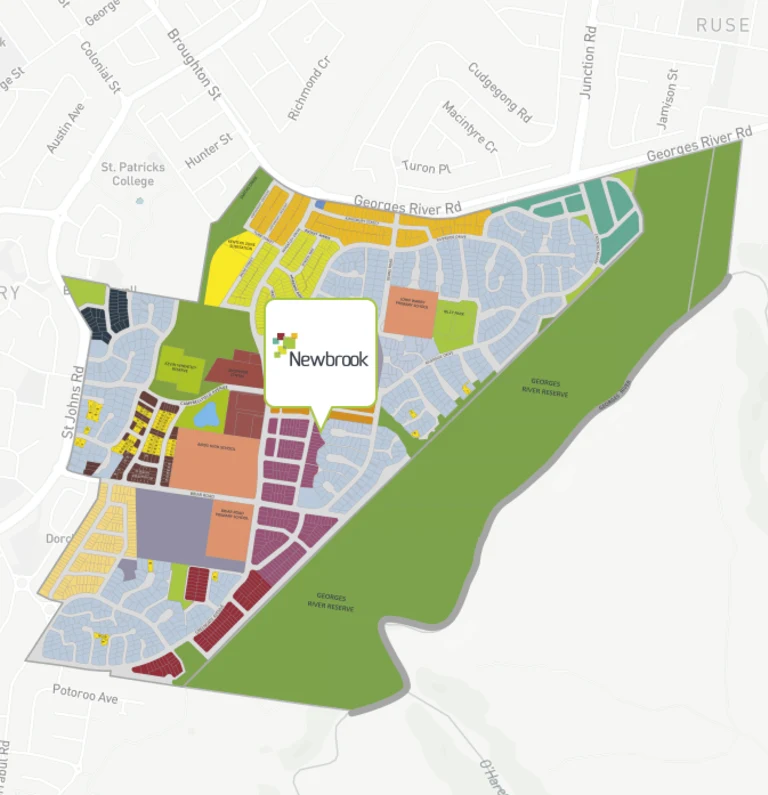
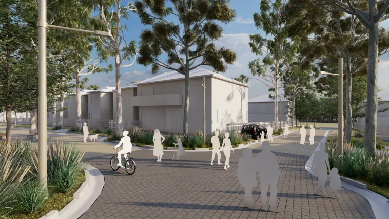


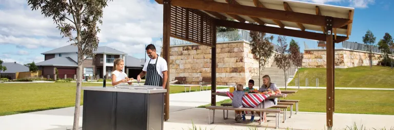

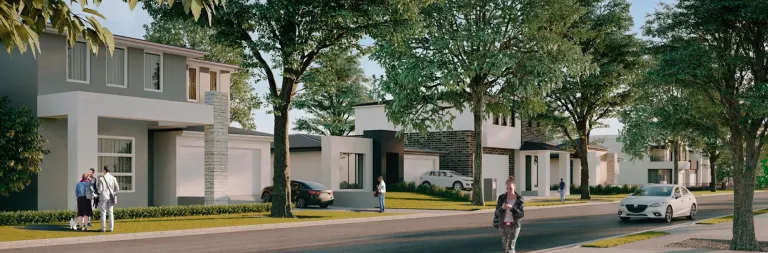
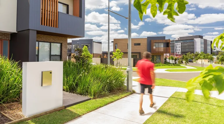

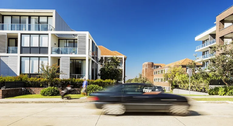


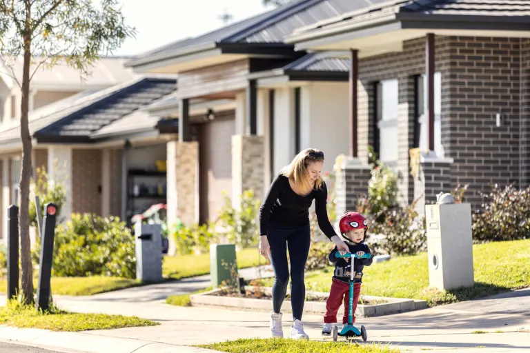


Buy land at Newbrook
Newbrook offers great value for those looking to build their own home. Close to local schools...
View
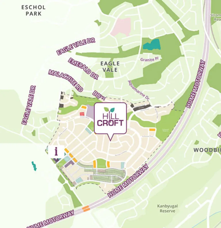
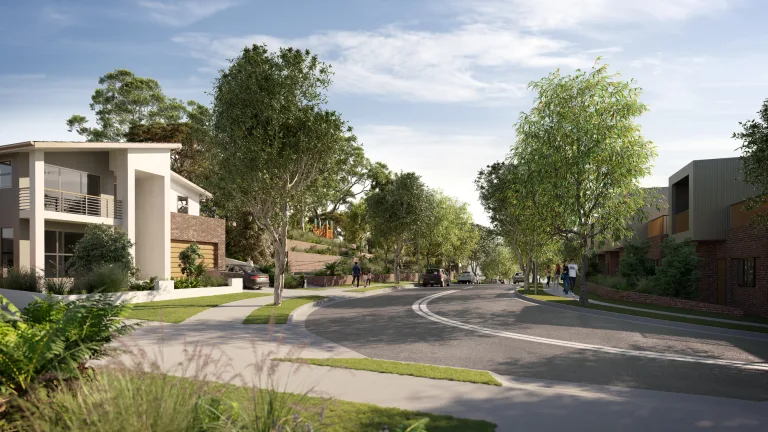
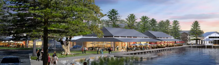
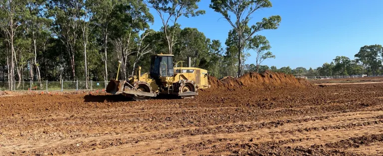
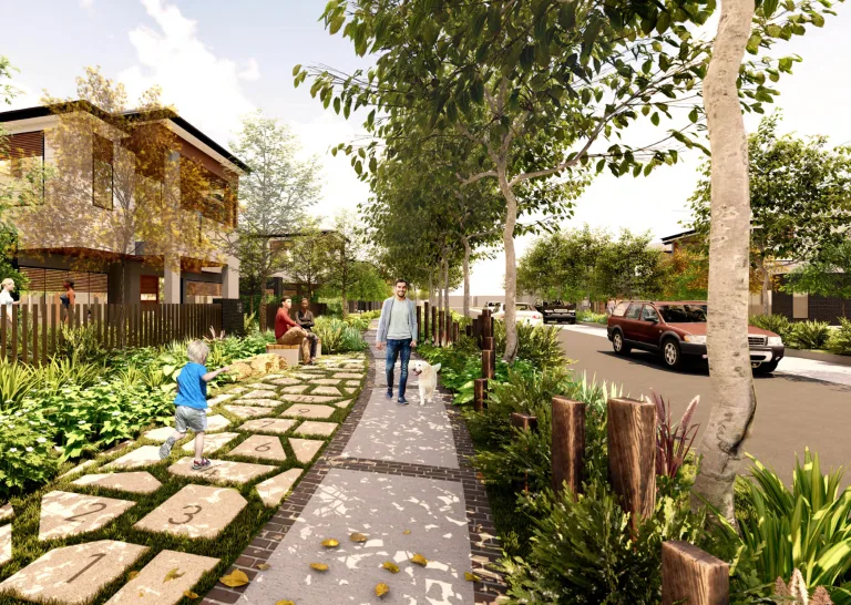
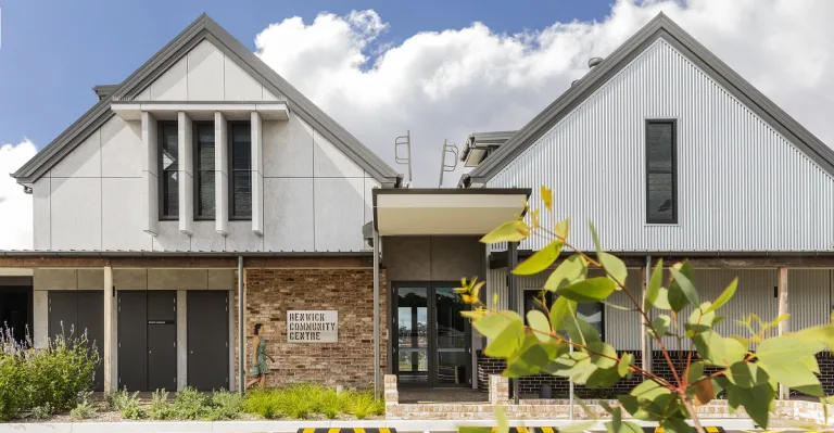
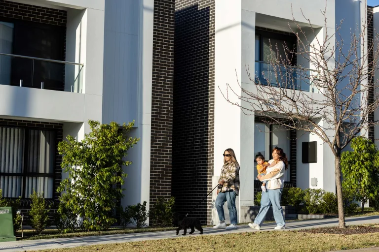
Buy land at Hillcroft
Located close to everything you need or want, and surrounded by spectacular views, Hillcroft...
View
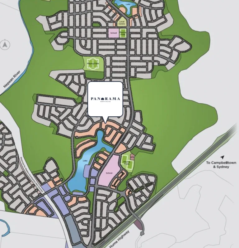
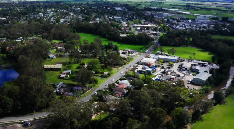
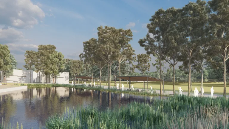
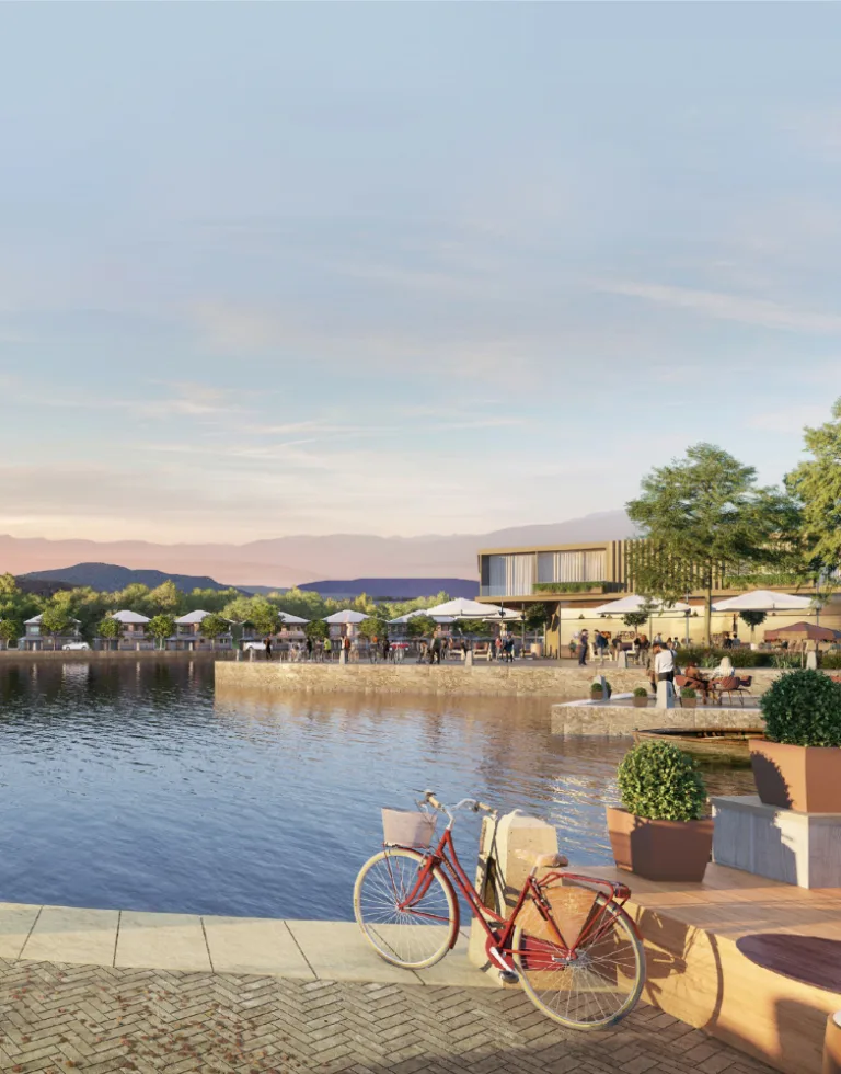
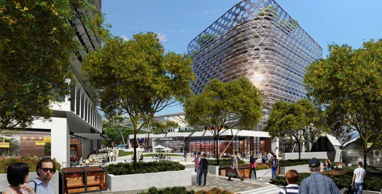
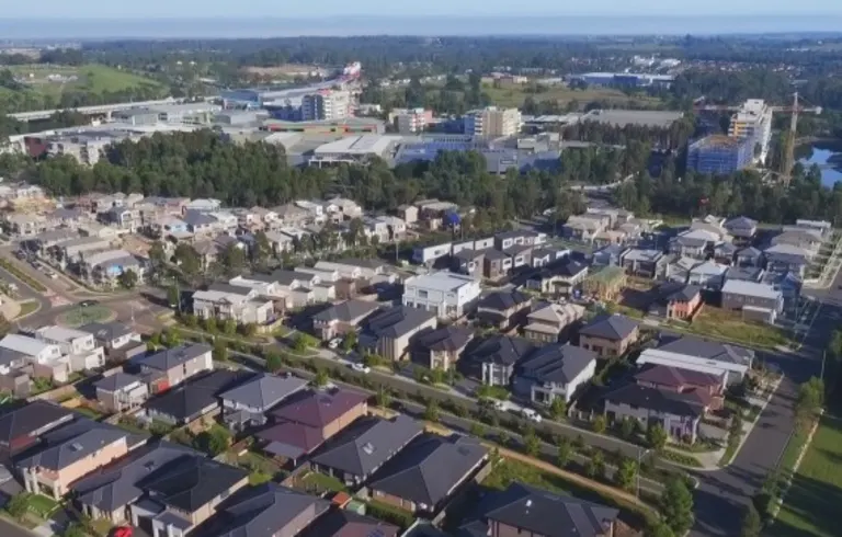
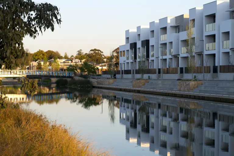
Buy land at Panorama
Be amongst the first residents to call Panorama home. New land release coming soon.
View
