Jewells Flood Planning
Consultation has concluded
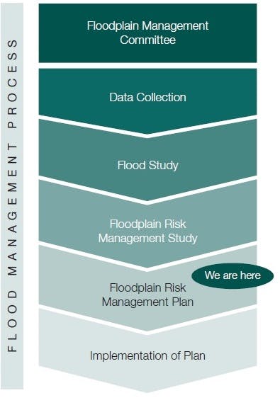
Council adopted the Jewells Wetland Floodplain Risk Management Study and Management Plan at its meeting on Monday 26 February 2018.
Click here for a snapshot of participation.
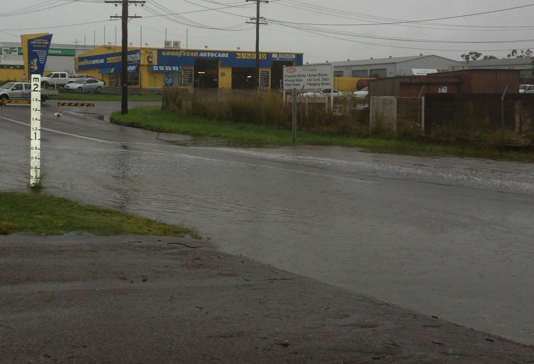
The Plan covers the Jewells Wetland catchment, and includes the Scrubby Creek, Crokers Creek and Johnson Creek tributaries, and covers parts of the suburbs of Mount Hutton, Tingira Heights, Windale, Gateshead, Bennetts Green, Redhead and Jewells.
The study builds on the 2013 Jewells Flood study and identifies a number of management measures that can be used to reduce future flood risks in the catchment. Once finalised, this document will be used by Council to manage existing and future flood risks and mitigate damage from floods within the area.
Thank you to those who provided feedback.

Document Library
-
 Council report - Adoption of Jewells Wetland Floodplain Risk Management Study and Plan
-
Snapshot of participation (119 KB) (pdf)
-
Jewells Wetland Floodplain Risk Management Study and Plan Final Draft - p1-44 (6.98 MB) (pdf)
-
Jewells Wetland Floodplain Risk Management Study and Plan Final Draft - p45-95 (4.26 MB) (pdf)