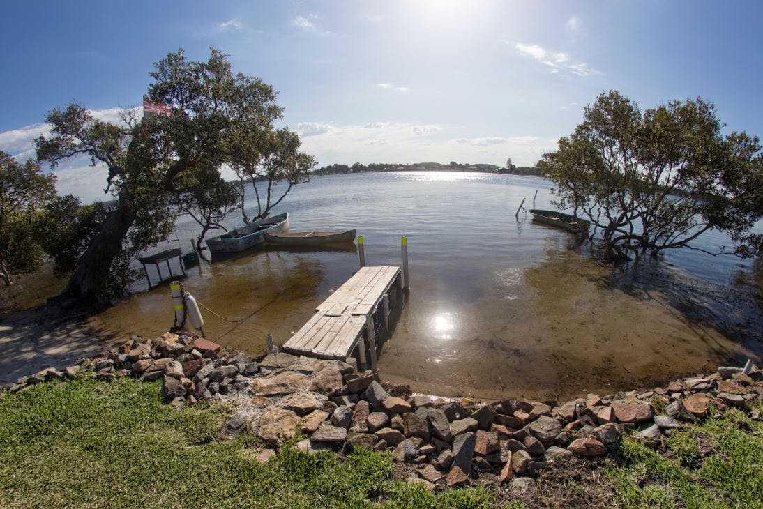
Pelican and Blacksmiths: Planning for Future Flood and Coastal Risks
Council adopted the Local Adaptation Plan for Pelican, Blacksmiths, Swansea, Swansea Heads and Caves Beach on 25 October 2021. You can view the Council report here.
You can view the Local Adaptation Plan webpage for more information.
Local adaptation planning assists coastal communities that may be vulnerable to flooding and tidal inundation impacts as sea and lake levels rise. Pelican and Blacksmiths each have future flood and coastal risks unique to these areas.
Planning to adapt communities over time to mitigate future flood risks allows local residents and businesses to assess the risks early, tailor adaptation options to meet local needs and act when and where necessary. We are working together to keep our community safe now and in the future. Decisions we make can have lasting impacts. Many of the new roads, drains and homes built today will likely still be around in 50 to 100 years, so we need to plan for the future now.
This page has online resources that will keep you up to date with the development of this local adaption plan and we encourage you to provide your feedback or ask a question.
Read the latest engagement summary

Document Library
-
 Feasibility Assessment FAQs (172 KB) (pdf)
-
Options guide for the cost benefit analysis (2.72 MB) (pdf)
-
Feasibility Assessment Report - Pelican and Blacksmiths/Swansea and Surrounds (9.86 MB) (pdf)
-
Let's Talk - Cost Benefit Analysis CIE Presentation 30 Nov 2020.pdf (290 KB) (pdf)
-
CBA Report Executive Summary.pdf (188 KB) (pdf)
-
Probabilistic Hazard Assessment.pdf (14.5 MB) (pdf)
-
 Records of wider community engagement
-
Newsletters
Who's listening
-
Lake Macquarie City Council
Phone 02 4921 0333 Email [email protected] -
Senior Sustainability Officer – Climate Change Adaptation